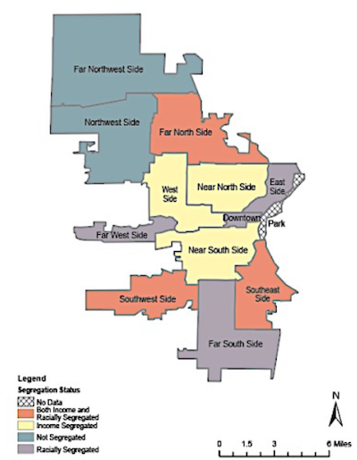
This map and research started as a follow up project to the Milwaukee Neighborhood project. In this project, my group and I conducted more varied and extensive tests to identify neighborhoods driven by race, income, both race and income or neither for the larger city extents. This allowed us to further understand the interactions between race and income in Milwaukee, confirmed our conclusions made in the capstone, and present this data at the Midwest Undergraduate Geography Symposium.
